
Scientists take flight to map California’s vast snowpack and measure flooding threats
Scientists take flight to map California’s vast snowpack and measure flooding threats
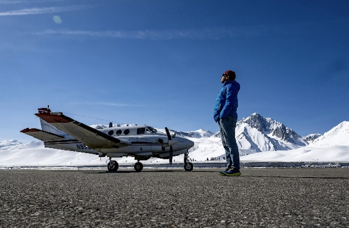
Flying thousands of feet above the Sierra Nevada in a plane equipped with specialized imaging devices, Elizabeth Carey has been scanning the mountains with lasers to precisely map the snow. The snow blanketing the Sierra lies so deep that the mountain range looks surprisingly swollen and “puffy,” said Carey, who leads the flights as part of a state-funded program. Carey’s employer, Airborne Snow Observatories Inc., provides data to the state Department of Water Resources, which uses the information to complement measurements from its network of 130 snow sensors across the Sierra Nevada.

COVID-sniffing dogs deployed in California

State lifts quarantine from invasive fruit fly in Contra Costa County
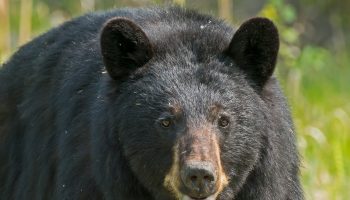
‘Fast and furry-ous;’ Tracking California’s bears using GPS technology

Defying odds, orphaned mountain lion cubs return to the wild

CDPH issues urgent warning against Diamond Schruumz products due to health risks
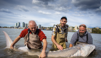
Nation’s largest freshwater fish could be added to California’s threatened species list

Fake Botox injections causing hospitalizations, adverse reactions
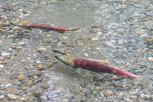
Kids witness rare release of 500K baby salmon into San Pablo, SF Bays

Proposals for New Conservation Practices for Healthy Soils Program Sought